Population 104 (2006 census) Postcode(s) 6410 Elevation 288 m Postal code 6410 | Established 1910 Founded 1910 | |
 | ||
Location 191 km (119 mi) East of Perth12 km (7 mi) West of Kellerberrin34 km (21 mi) East of Cunderdin Weather 21°C, Wind E at 3 km/h, 60% Humidity | ||
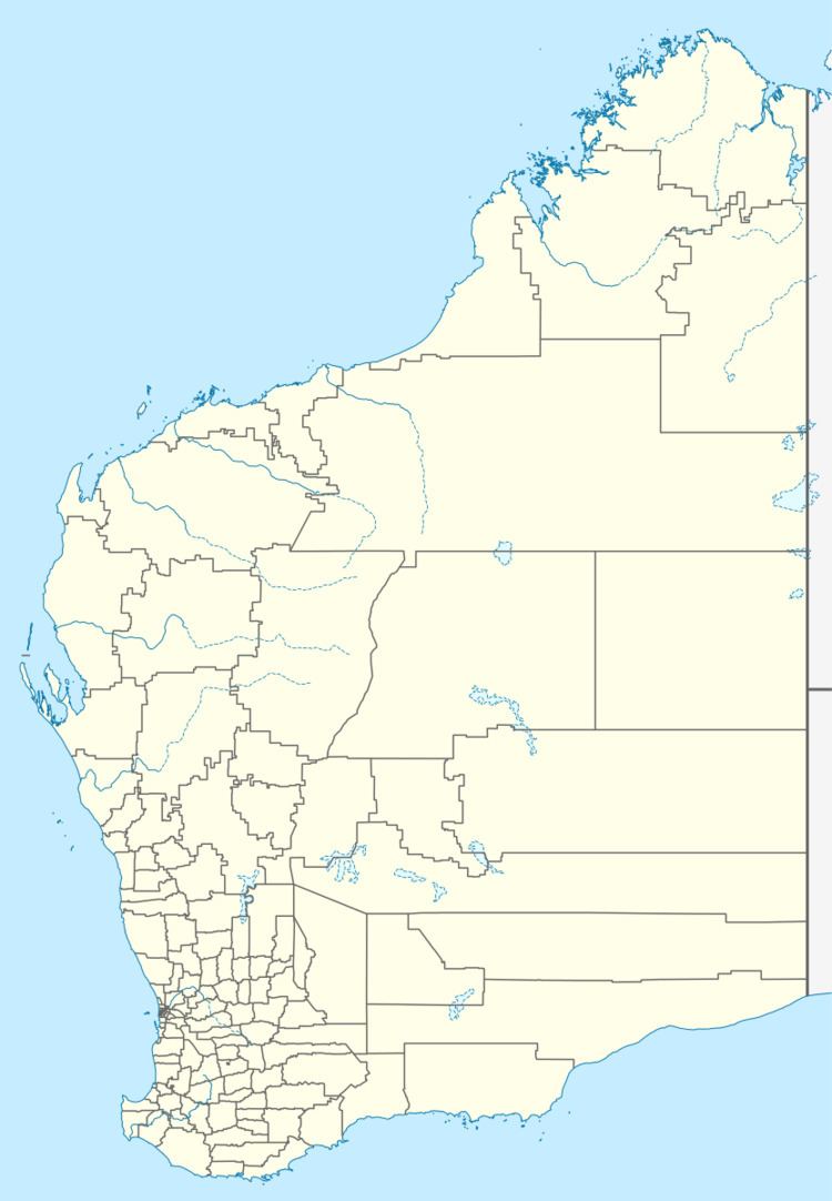
Bungulla is a small town located on the Great Eastern Highway in the central Wheatbelt region of Western Australia.
The town came into being as a railway station on the line to Merredin. Its name is Aboriginal in origin; the word Bun-Galla means the part of the body situated above the hips. The townsite was gazetted in 1910.
References
Bungulla, Western Australia Wikipedia(Text) CC BY-SA
