Population 274 (2006 census) Local time Tuesday 9:19 AM | Postcode(s) 2663 Elevation 109 m Postal code 2663 | |
 | ||
Location 623 km (387 mi) from Sydney141 km (88 mi) from Griffith33 km (21 mi) from Jerilderie25 km (16 mi) from Widgiewa Weather 21°C, Wind E at 19 km/h, 51% Humidity | ||
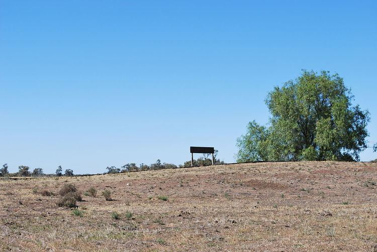
Bundure is a rural community in the central south part of the Riverina. It is situated by road, about 25 kilometres south west from Widgiewa and 33 kilometres north east from Jerilderie. In 2006, Bundure had a population of 274 people.
Map of Bundure NSW 2700, Australia
The place name Bundure is derived from the local Aboriginal word Bundoora meaning "place of meeting of many Kangaroos".
Bundure Post Office opened on 1 September 1926, was closed between 1930 and 1934, and finally closed in 1973.
References
Bundure, New South Wales Wikipedia(Text) CC BY-SA
