
Postcode(s) 2700 Elevation 112 m Postal code 2700 | LGA(s) Federation Council Local time Monday 4:39 AM | |
 | ||
Weather 13°C, Wind E at 11 km/h, 64% Humidity | ||
Widgiewa is a small community in the central part of the Riverina. It is situated by road, about 9 kilometres (5.6 mi) south west from Morundah and 25 kilometres (16 mi) north east from Bundure.
Map of Widgiewa, NSW 2700, Australia
The place name Widgiewa is derived from the local Aboriginal word meaning "What do you want?".
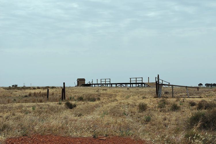
Widgiewa was a station on the Tocumwal railway line. The station opened on 16 September 1884 and closed on 4 May 1975.
Widgiewa Post Office opened on 15 March 1912 and closed in 1970.
References
Widgiewa, New South Wales Wikipedia(Text) CC BY-SA