
Vehicle registration JH Population 21,054 (2011) | Time zone IST (UTC+5:30) Elevation 337 m Local time Tuesday 3:48 AM | |
 | ||
Weather 17°C, Wind W at 2 km/h, 34% Humidity Neighborhoods Tanger Toli, Navratri Toli, Bichka Toli, Purana Bazar Toli | ||
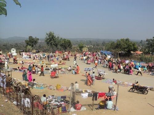
Bundu is a town, a notified area, in Ranchi district in the state of Jharkhand, India.
Contents
Map of Bundu, Jharkhand 835204
Geography
Bundu is located at 23.18°N 85.58°E / 23.18; 85.58. It has an average elevation of 337 metres (1105 feet). It is located on National Highway-33 between Ranchi and Jamshedpur and blessed with all the natural beauties. It is surrounded by mountains and forest. Surya Mandir and Dassam Falls are main attraction and tourist spots.
Demographics
As of 2001 India census, Bundu had a population of 18,505. Males constitute 53% of the population and females 47%. Bundu has an average literacy rate of 61%, higher than the national average of 59.5%; with male literacy of 72% and female literacy of 49%. 14% of the population is under 6 years of age.
Language
The most popular language of this town is Panchpargania used as a common language for communication by more than 75% inhabitants. Other popular languages are Bengali and Hindi.