Population 40 (2006 census) Postcode(s) 6484 Elevation 359 m Postal code 6484 | Established 1910 State electorate(s) Eyre Founded 1910 Local time Tuesday 3:34 AM | |
 | ||
Location 405 km (252 mi) East North East of Perth34 km (21 mi) North West of Southern Cross97 km (60 mi) North East of Merredin Weather 25°C, Wind N at 11 km/h, 35% Humidity | ||
Bullfinch is a small town in the Eastern Wheatbelt region of Western Australia.
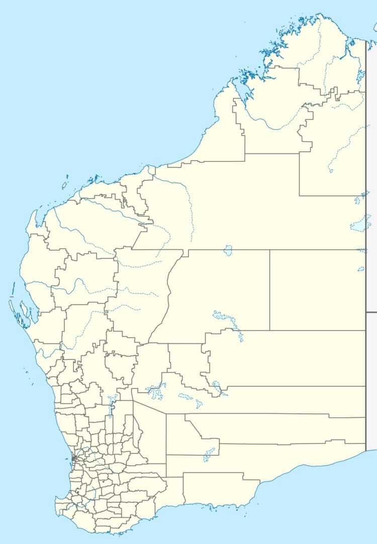
Map of Bullfinch WA 6484, Australia
The town was originally gazetted in 1910. Gold mining is its largest industry.
Gold was first discovered in the area in 1909 and the name "Bullfinch" was the name of one of the original leases issued. The Bullfinch mine closed in 1921, but other mines opened during a boom following World War II.
In 1932 the Wheat Pool of Western Australia announced that the town would have two grain elevators, each fitted with an engine, installed at the railway siding.
References
Bullfinch, Western Australia Wikipedia(Text) CC BY-SA
