Population 96 (2006 census) State electorate(s) Wagin Postal code 6373 | Postcode(s) 6373 Elevation 286 m Local time Tuesday 2:50 AM | |
 | ||
Location 232 km (144 mi) East South East of Perth22 km (14 mi) South South West of Corrigin39 km (24 mi) North West of Wickepin Weather 21°C, Wind SW at 8 km/h, 57% Humidity | ||
Bullaring is a small town located in the Wheatbelt region of Western Australia.
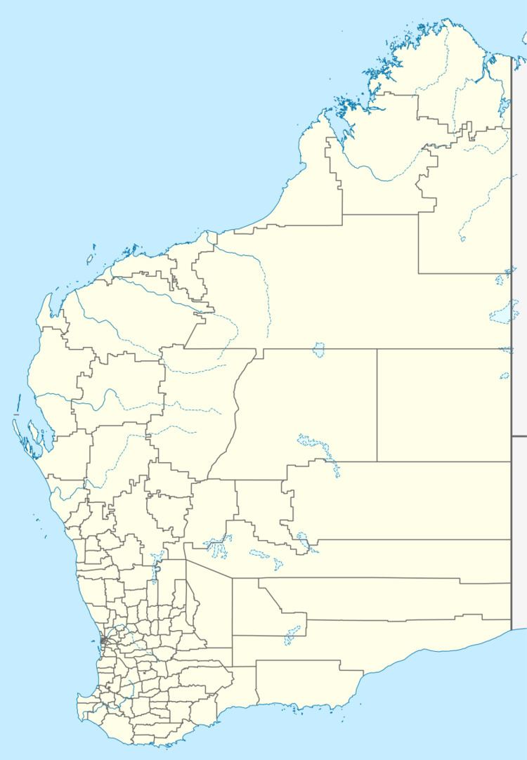
Map of Bullaring WA 6373, Australia
The townsite was gazetted in 1914 and is situated along the railway line between Corrigin and Wickepin.
The name is Aboriginal in origin and comes from the name of a spring that is found close to town, but the meaning of the word is unknown.
The main industry in town is wheat farming with the town being a Cooperative Bulk Handling receival site.
References
Bullaring, Western Australia Wikipedia(Text) CC BY-SA
