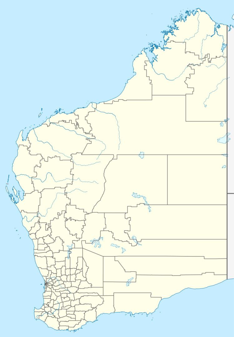
Established 1898 Founded 1898 Postal code 6429 | Postcode(s) 6429 Elevation 450 m Local time Tuesday 2:43 AM | |
 | ||
Location 528 km (328 mi) ENE of Perth30 km (19 mi) West of Coolgardie Weather 26°C, Wind NE at 19 km/h, 31% Humidity | ||
Bullabulling (spelled "Bulla Bulling" until 1944) is a small townsite located 526 km east of Perth, Western Australia on the Great Eastern Highway. The town was gazetted in 1898, when the population of the town was 160 (140 males and 20 females). Its central feature is the Rock Hotel roadhouse.
Map of Bullabulling WA 6429, Australia
Bullabulling is also the location of a reservoir which forms part of the Goldfields Water Supply Scheme. From here, the water gravitates (i.e. moves without pumping) to Coolgardie and Kalgoorlie.
In 1996, Bullabulling was registered as a place of cultural heritage significance.
References
Bullabulling, Western Australia Wikipedia(Text) CC BY-SA
