
Country Philippines Barangays ZIP code 5214 Local time Monday 7:31 PM Province Oriental Mindoro | Region Mimaropa (Region IV-B) Time zone PST (UTC+8) Area 321.9 km² Population 33,754 (2010) | |
 | ||
District 2nd District of Oriental Mindoro Weather 25°C, Wind N at 8 km/h, 70% Humidity Neighborhoods Maasin, Nasukob, Maujao, Cambunang, Poblacion, San Roque, Balatasan, Campaasan, San Juan | ||
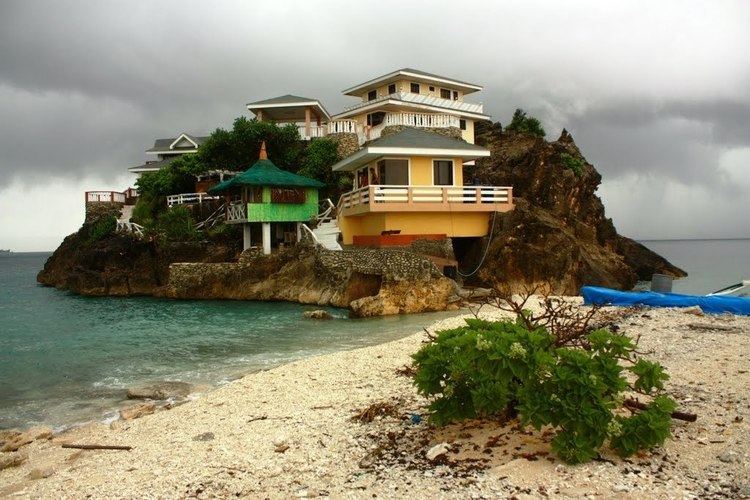
Bulalacao oriental mindoro philippines
Bulalacao (formerly known as San Pedro) is a third class municipality in the province of Oriental Mindoro, Philippines. According to the 2010 census, it has a population of 33,754 people.
Contents
- Bulalacao oriental mindoro philippines
- Map of Bulalacao Oriental Mindoro Philippines
- Geography
- Barangays
- References
Map of Bulalacao, Oriental Mindoro, Philippines
Geography
Bulalacao is located at the southernmost tip of the province.
Barangays
Bulalacao is politically subdivided into 15 barangays.
References
Bulalacao, Oriental Mindoro Wikipedia(Text) CC BY-SA