
Time zone EAT (UTC+3) Local time Monday 1:50 PM | Elevation 1,200 m | |
 | ||
Division Kampala Central Division Weather 27°C, Wind S at 13 km/h, 61% Humidity Restaurants Chokh Di Thai Restaurant, Amigos Bar And Resturant, Hunter's, Casablan Pub and Resturant, Cafe Ceylon | ||
Bukoto is a township within the city of Kampala, Uganda's capital and largest metropolitan area.
Contents
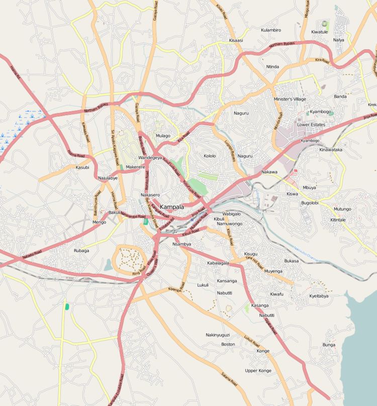
Map of Bukoto, Kampala, Uganda
Location
Bukoto is bordered by Kisaasi to the north, Kigoowa to the north-east, Ntinda to the east, Naguru to the south-east, Kololo to the south, Kamwookya to the west, and Kyebando to the north-west. This location is approximately 7 kilometres (4.3 mi), by road, north-east of Kampala's central business district. The coordinates of Bukoto are 0°21'04.0"N, 32°35'47.0"E (Latitude:0.351111; Longitude:32.596400).
Points of interest
The following points of interest lie inside or near Bukoto:
References
Bukoto Wikipedia(Text) CC BY-SA