
Founded 1025 Max width 270 km | Max length 730 km | |
 | ||
Bukkur Fort (Sindhi: بکر) is an island located in Rohri, Sukkur District, Pakistan. Named Bukkur (Dawn) by Sayyid Muhammad Al-Makki in the seventh century of Hijri, this island is a limestone rock, oval in shape, 800 yards (730 m) long by 300 yards (270 m) wide, and about 25 feet (7.6 m) in height. According to the Superintendent of Land Records and Registration, Sindh, in 1912, the area of Bukkur island was 255,292 sq. yards, or 49 acres (20 ha). Nowadays Bukkur island is occupied by an Army public school, and the tomb of Sayyid Sadruddin, who was the son of Sayyid Muhammad Al-Makki.
Contents
- Map of Bukkur Pakistan
- Niccolo manucci dara shiko s italian gunner at bukkur island sind pakistan
- Situation
- Structure
- Early history
- Arms in 1839
- References
Map of Bukkur, Pakistan
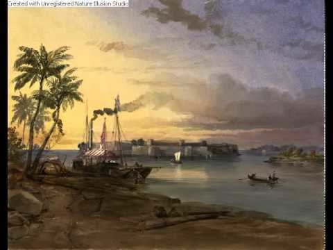
Niccolo manucci dara shiko s italian gunner at bukkur island sind pakistan
Situation
The isolated fortress of Bukkur was situated on a rock in the Indus, between the towns of Roree and S ukkur. It was a degree and twenty minutes north of Sehwun, being latitude 27° 42′, and in longitude it was 56 miles eastward of that town.
Structure
Early history
In 622 H. (1225 A.D.) Shums-ud-deen took an army to Oochch to overthrow Nasir-ud-deen, who had entrenched himself at Bukkur; to this place Shums-ud-deen detached Nizam-ul-Moolk, but Nasir-ud-deen, attempting to escape from Bukkur, took a boat, which foundered in a storm, and he was drowned.
Arms in 1839
In 1839 (First Anglo-Afghan War) the arms were the following: