
 | ||
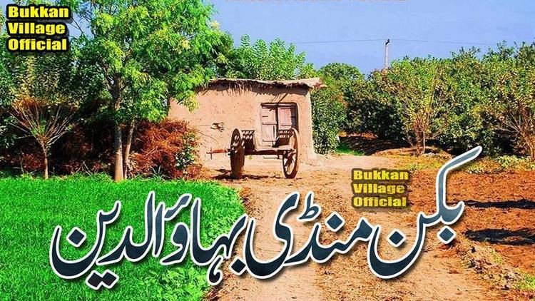
Bukkan is a village on Sargodha-Gujrat Road between (village) Bhikkhi Shareef and (village) Gojra in Mandi Bahauddin District and Tehsil Malakwal in Punjab province, Pakistan. It is about 25 kilometers away from Mandi Bahauddin and about 22 kilometers from Malakwal. There are two parts of the village: North Bukkan is on the North side from the main Sargodha-Gujrat Road where majority of villagers live, and South Bukkan is on the South side from the main Sargodha-Gujrat Road. In South Bukkan only a few families live. South Bukkan also has the local name Dera Hast Abad Bukkan.
Contents
- Map of Bukkan Pakistan
- Population and Union Council
- Literacy Rate
- Main Castes
- Land Crops
- Schools and colleges
- Nearest villages
- Political Personalities
- Social Workers
- Highly Qualified Personalities
- Mazaars and shrines
- Types of roads
- References
Map of Bukkan, Pakistan
Population and Union Council
The population is about 25,000. The number of registered voters are about 12,000. The Union Council of Bukkan is UC-66 Khai, in which there are three total villages: Bukkan, Khai, and Chak 42.
Literacy Rate
About 80% of the total are illiterate. Where as, the remaining 20% are literate.
Main Castes
The main castes are Gondal, Warraich, Ghega, Boolay, Chaddhar, Mughal, Rajput, Panjuttha, Bhatti, Tarkhan, Muhajir, and Muslim Sheikh.
Land / Crops
The village has alluvial land which is best for growing crops in it. Oranges, rice, wheat, and sugar cane are major crops grown there.
Schools and colleges
Nearest villages
Political Personalities
Social Workers
Highly Qualified Personalities
Mazaars and shrines
Types of roads
A carpeted double track road "Mini Motor Way" known as Sargodha-Gujrat Road passes through the village which divides the village into two parts i.e. North Bukkan and South Bukkan.
The roads which join the village with other villages are paved with brick.