Puneet Varma (Editor)

Buire Courcelles

Updated on
Edit
Like
Comment
Share on FacebookTweet on TwitterShare on LinkedInShare on Reddit
Country
  
France

Department
  
Somme

Intercommunality
  
Haute Somme

Area
  
7.76 km²

Population
  
284 (1999)

Region
  
Hauts-de-France

Canton
  
Péronne

Time zone
  
CET (UTC+1)

Local time
  
Monday 10:37 AM

Arrondissement
  
Péronne

Buire-Courcelles

Weather
  
7°C, Wind SW at 14 km/h, 85% Humidity

Buire-Courcelles is a commune in the Somme department in Hauts-de-France in northern France.

Contents

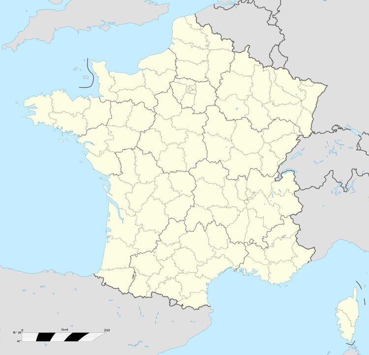
Map of 80200 Buire-Courcelles, France

Geography

The commune is situated on the D199 road, some 14 miles (23 km) northeast of Saint-Quentin.

Etymology

  • Buire : Of Celtic origin, meaning 'a slope', Buire has been successively Buracum and Buiciera.
  • Courcelles Also of Celtic origin, meaning a group of houses. This hamlet was a commune before the French revolution and attached to Buire in 1794.
  • References

    Buire-Courcelles Wikipedia