
Country Germany Time zone CET/CEST (UTC+1/+2) Area 8.44 km² Population 513 (31 Dec 2008) Dialling code 06782 | Postal codes 55767 Local time Monday 9:21 AM Postal code 55767 | |
 | ||
Weather 3°C, Wind SW at 26 km/h, 90% Humidity | ||
Buhlenberg is an Ortsgemeinde – a municipality belonging to a Verbandsgemeinde, a kind of collective municipality – in the Birkenfeld district in Rhineland-Palatinate, Germany. It belongs to the Verbandsgemeinde of Birkenfeld, whose seat is in the like-named town.
Contents
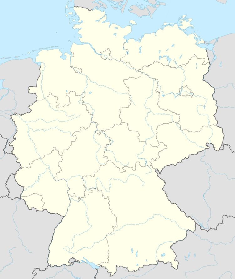
- Map of 55767 Buhlenberg Germany
- Location
- Constituent communities
- History
- Municipal council
- Mayor
- Coat of arms
- Buildings
- Transport
- References
Map of 55767 Buhlenberg, Germany
Location
The municipality lies three kilometres northwest of the district seat of Birkenfeld in the Schwarzwälder Hochwald (forest) in the Hunsrück, on the edge of the Naturpark Saar-Hunsrück near the Erbeskopf, Rhineland-Palatinate's highest mountain.
Constituent communities
Also belonging to Buhlenberg are the outlying homesteads of Berghof, Etzweilerhof, Grenzhof and Waldhof.
History
Buhlenberg once belonged to the "Hinder" County of Sponheim.
From 29 July to 8 August 2009, the Bund der Pfadfinderinnen und Pfadfinder held its National Scout Jamboree in Buhlenberg.
Municipal council
The council is made up of 12 council members, who were elected by majority vote at the municipal election held on 7 June 2009, and the honorary mayor as chairman.
Mayor
Buhlenberg's mayor is Dieter Pilger, and his deputies are Kurt Müller and Kurt Schulz.
Coat of arms
The German blazon reads: In schräglinks geteiltem Schild vorne rot-silbern geschacht, hinten in Silber über blauem Dreiberg ein blauer Wolfskopf.
The municipality’s arms might in English heraldic language be described thus: Per bend sinister chequy of gules and argent and argent issuant from base a mound of three, above which a wolf’s head caboshed, both azure.
The “chequy” pattern on the dexter (armsbearer’s right, viewer’s left) side is a reference to the village’s former allegiance to the “Hinder” County of Sponheim, Oberamt of Birkenfeld. The charge in base on the sinister (armsbearer's left, viewer's right) side, known in German heraldry as a Dreiberg, is in part canting for the village's name, at least for the last syllable, for Berg means "mountain" in German, and it also refers to the village's high elevation and the Gebück mountain ridge. The wolf's head refers to the Wolfskaul, an area within municipal limits where there was once a wolf-catching pit.
The arms have been borne since 26 August 1963.
Buildings
The following are listed buildings or sites in Rhineland-Palatinate's Directory of Cultural Monuments:
Transport
To the east runs Bundesstraße 269, and to the south runs the Autobahn A 62 (Kaiserslautern–Trier). Serving nearby Neubrücke is a railway station on the Nahe Valley Railway.