
Time zone CAT (UTC+2) Elevation 1,190 m Local time Monday 10:17 AM | Climate Cwa | |
 | ||
Weather 24°C, Wind E at 14 km/h, 80% Humidity | ||
Grace mugabe donated confiscated goods to tsvangirai s buhera villagers
Buhera is a village in Zimbabwe.
Contents
- Grace mugabe donated confiscated goods to tsvangirai s buhera villagers
- Map of Buhera Zimbabwe
- Primary schools and clinics in buhera district zimbabwe seek assistance
- Location
- Overview
- History
- Population
- References
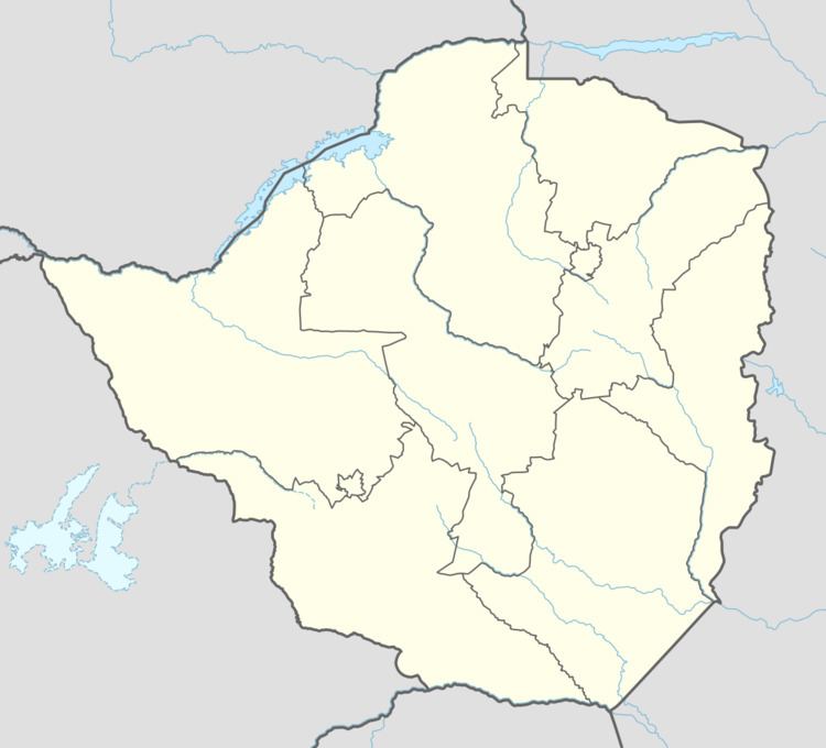
Map of Buhera, Zimbabwe
Primary schools and clinics in buhera district zimbabwe seek assistance
Location
Buhera District is in Manicaland Province, in eastern Zimbabwe. It is about 170 kilometres (110 mi), by road, southwest of Mutare, the location of the provincial headquarters. This location is approximately 82 kilometres (51 mi), southeast of Chivhu, the nearest large town. Buhera is located approximately 30 kilometres (19 mi), by road, southwest of Murambinda, the largest urban center in Buhera District. The coordinates of Buhera Village are: 19° 19' 57.00"S, 31° 26' 6.00"E (Latitude:-19.3325; Longitude:31.4350). The village sits at an altitude of 3,904 feet (1,190 m), above sea level.
Overview
The village serves as the administrative and commercial centre for the Sabi communal lands. The economy of Buhera District depends mainly on farming, the main crops being maize, millet (mhunga) nyimo (roundnuts) and nzungu (groundnuts). Cattle ranching is also widely practised, primarily on a subsistence scale. Due to the unpredictability of the rains in the area, irrigation is required for a successful harvest. The area is fertile with several irrigation schemes for the populace to supplement their meager harvests. However the schemes are now in sorry state due to government neglect. The is an airstrip, Buhera Airport, approximately 3 kilometres (1.9 mi), north of the village center.
History
The name Buhera is a Nguninised then Anglicised version of the name uHera. uHera means territory of the Hera and is reference to the fact that the Hera ethnic group of the Shona lived in the area. The same ethnic group occupied neighbouring Chikomba District. The vaHera of the Museyamwa totem occupy most of the Buhera territory (under Chief Nyashanu) and much of neighbouring Chikomba (under Chief Mutekedza).
The Va Hera are of the Shona tribe and claim that they came from Guruuswa, which has been identified as an area north of the Zambezi River, perhaps around Uganda or South Sudan. Chiurwi Mountain was a major staging point for ZANLA liberation forces, during the Second Chimurenga War (1966–1979).
Population
The current population of the village of Buhera is 245,878 according to 2012 Zimbabwe population census.