Harman Patil (Editor)

Bugarama

Updated on
Edit
Like
Comment
Share on FacebookTweet on TwitterShare on LinkedInShare on Reddit
Country
  
Rwanda

Elevation
  
1,200 m

District
  
Rusizi District

Province
  
Western Province, Rwanda

Bugarama httpsmw2googlecommwpanoramiophotosmedium

Vip bar bugarama rusizi rwanda


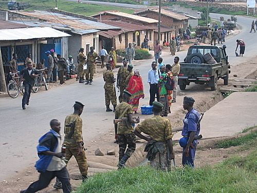
Bugarama is a town in western Rwanda.

Contents

Map of Bugarama, Rwanda

Location

Bugarama is located in Rusizi District, Western Province, close to the borders with Burundi (to the east) and the Democratic Republic of the Congo (to the west). It is about 307 kilometres (191 mi), by road, southwest of Kigali, Rwanda's capital and largest city, and approximately 43 kilometres (27 mi), by road, southeast of Kamembe/Cyangugu, where the district headquarters are located.

Population

The population of Bugarama was about 28,810 as of December 2013.

Points of interest

The following points of interest lie within the town limits or close to the edges of town:

  • Offices of Cavicon Consultants, Safkoko, FHI
  • The headquarters of Bugarama Sector
  • The International border crossing between Rwanda and the Democratic Republic of the Congo at Bugarama City
  • The International border crossing between Rwanda and Burundi at Ruhwa
  • A branch of Bank of Kigali
  • A branch of Banque Populaire du Rwanda
  • A branch of Ruyange Sacco
  • Cyamudongo National Forest
  • Bugarama Rice Plantation - A project of Rural Development Inter-Diocesan Service
  • Bugarama Islamic Health Center
  • Church: Eglise Catholique Saint Paul Muko
  • High School: Groupe Scolaire St Paul Muko
  • International Market of Bugarama
  • References

    Bugarama Wikipedia