Country United States GNIS feature ID 488299 Population 498 (2010) | Time zone Eastern (EST) (UTC-5) Elevation 228 m Area code Area codes 270 and 364 | |
 | ||
Area 3.064 km² (3.059 km² Land / 5,180 m² Water) | ||
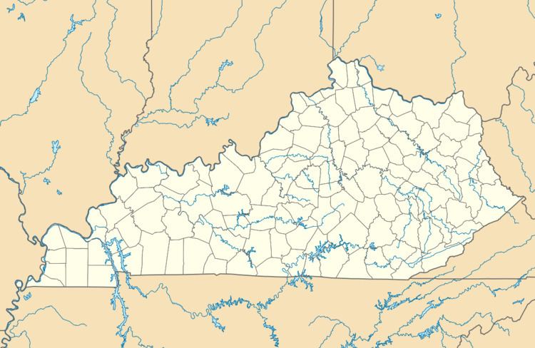
Buffalo is an unincorporated community and census-designated place (CDP) in southern LaRue County, Kentucky, United States. Its population was 498 as of the 2010 census. It lies along Kentucky Route 61 south of the city of Hodgenville, the county seat of LaRue County. Its elevation is 748 feet (228 m), and it is located at 37°30′43″N 85°41′55″W (37.5120048, -85.6985728). Although Buffalo is unincorporated, it has a post office, with the ZIP code of 42716.
Map of Buffalo, KY 42716, USA
References
Buffalo, Kentucky Wikipedia(Text) CC BY-SA
