
Country Thailand Khwaeng 3 Time zone THA (UTC+7) Population 144,449 (2016) | Seat Khlong Kum Khet established September 4, 1989 Area 24.31 km² Province Bangkok | |
 | ||
Postal code 10240
except Mu 9-12 Khwaeng Khlong Kum: 10230 | ||
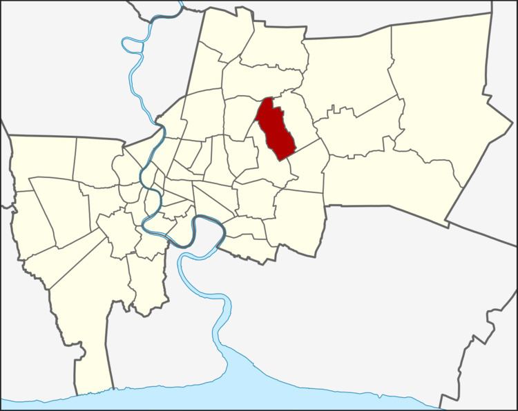
Bueng Kum (Thai: บึงกุ่ม; [bɯ̄ŋ kùm]) is one of the 50 districts (Khet) of Bangkok, Thailand. From north clockwise, it is bounded by Bang Khen, Khan Na Yao, Saphan Sung, Bang Kapi, and Lat Phrao.
Contents
Map of Bueng Kum, Bangkok, Thailand
History
Bueng Kum was separated from Bang Kapi on 4 September 1989 consisting of 3 sub-districts: Khlong Kum, Khan Na Yao, and Saphan Sung. On 14 October 1997, Khan Na Yao and Saphan Sung's were elevated to districts, leaving Bueng Kum with sole sub-district: Khlong Kum.
Bueng Kum was named so because of a lake (Bueng means lake) used as water reservoir for flood prevention. There are also plants called Kum (Crataeva sp.) around the lake. The lake is part of Seri Thai Park.
Places
Administration
The district is sub-divided into 3 sub-districts (Khwaeng).
District Council
The District Council for Bueng Kum has seven members, who each serve four-year terms. Elections were last held on June 6, 2010. The results were: