
Time zone CET (UTC+1) Population 755 (1999) | Canton Chambon-sur-Voueize Area 25.07 km² Local time Monday 4:22 AM | |
 | ||
Intercommunality Évaux-les-Bains Chambon-sur-Voueize Weather 7°C, Wind SW at 16 km/h, 88% Humidity | ||
Budelière is a commune in the Creuse department in the Nouvelle-Aquitaine region in central France.
Contents
Map of 23170 Budeli%C3%A8re, France
Geography
An area of lakes, forestry and farming comprising the village and several hamlets situated some 10 miles (16 km) southwest of Montlucon at the junction of the D993 and the D64 roads.
Between 1905 and 1955, the commune had a goldmine at Le Chatelet, which produced 11 tonnes of gold in those years.
The commune is served by a TER railway.
The river Tardes forms all of the commune's eastern border, then flows into the Cher, 4 km (2.5 mi) northwest of the village.
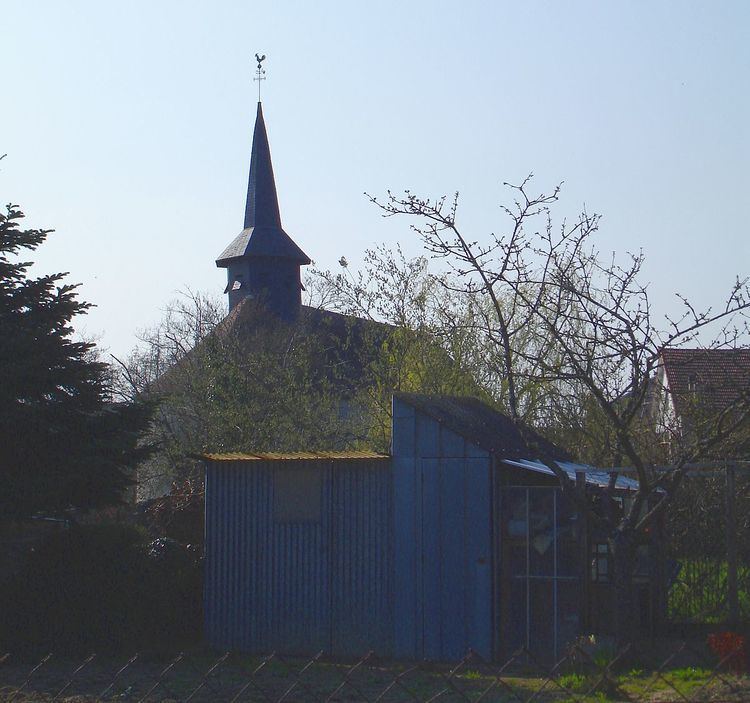
Sights
References
Budelière Wikipedia(Text) CC BY-SA