
Country United States Time zone CST (UTC-6) Elevation 192 m Local time Sunday 5:13 PM | Established November 8, 1853 ZIP codes 62314, 62353, 62375 Area 98.29 km² Population 98 (2010) | |
 | ||
Weather 15°C, Wind S at 29 km/h, 61% Humidity | ||
Buckhorn Township is one of nine townships in Brown County, Illinois, USA. As of the 2010 census, its population was 98 and it contained 73 housing units.
Contents
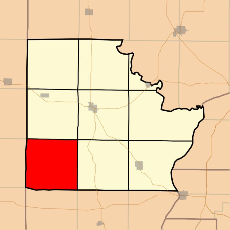
- Map of Buckhorn Township IL USA
- Geography
- Unincorporated towns
- Cemeteries
- Landmarks
- School districts
- Political districts
- References
Map of Buckhorn Township, IL, USA
Geography
According to the 2010 census, the township has a total area of 37.95 square miles (98.3 km2), of which 37.86 square miles (98.1 km2) (or 99.76%) is land and 0.08 square miles (0.21 km2) (or 0.21%) is water.
Unincorporated towns
(This list is based on USGS data and may include former settlements.)
Cemeteries
The township contains these eight cemeteries: Benville, Bixler, Bowman, Butler, DeHart, Dobey, Linn and Morrelville.
Landmarks
School districts
Political districts
References
Buckhorn Township, Brown County, Illinois Wikipedia(Text) CC BY-SA