
Country United States Elevation 1,038 m | Time zone MST (UTC-7) Local time Sunday 3:55 PM | |
 | ||
Weather 25°C, Wind SW at 35 km/h, 12% Humidity | ||
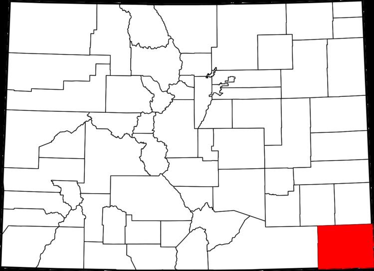
Buckeye Crossroads is a small unincorporated community in extreme eastern Baca County, Colorado, United States. The small community is located at the intersection of SH 89 and SH 116. Closely resembles Punkin Center, about 170 miles to the northwest. The population of Buckeye Crossroads was only 7 in 2000, and remains isolated, located many miles in every direction from any other town.
Contents
Map of Buckeye Crossroads, Colorado 81090, USA
Geography
Buckeye Crossroads is located at 37°33′27″N 102°07′43″W (37.55775,-102.11035).
References
Buckeye Crossroads, Colorado Wikipedia(Text) CC BY-SA