
Country United States Time zone CST (UTC-6) Area 88.81 km² Population 307 (2010) | Established November 4, 1856 Elevation 208 m Local time Sunday 4:39 PM | |
 | ||
ZIP codes 61917, 61933, 61944, 61949 Weather 14°C, Wind S at 40 km/h, 54% Humidity | ||
Buck Township is one of fifteen townships in Edgar County, Illinois, USA. As of the 2010 census, its population was 307 and it contained 145 housing units. Buck Township was originally named Pilot Grove Township, but the name was changed on May 9, 1857.
Contents
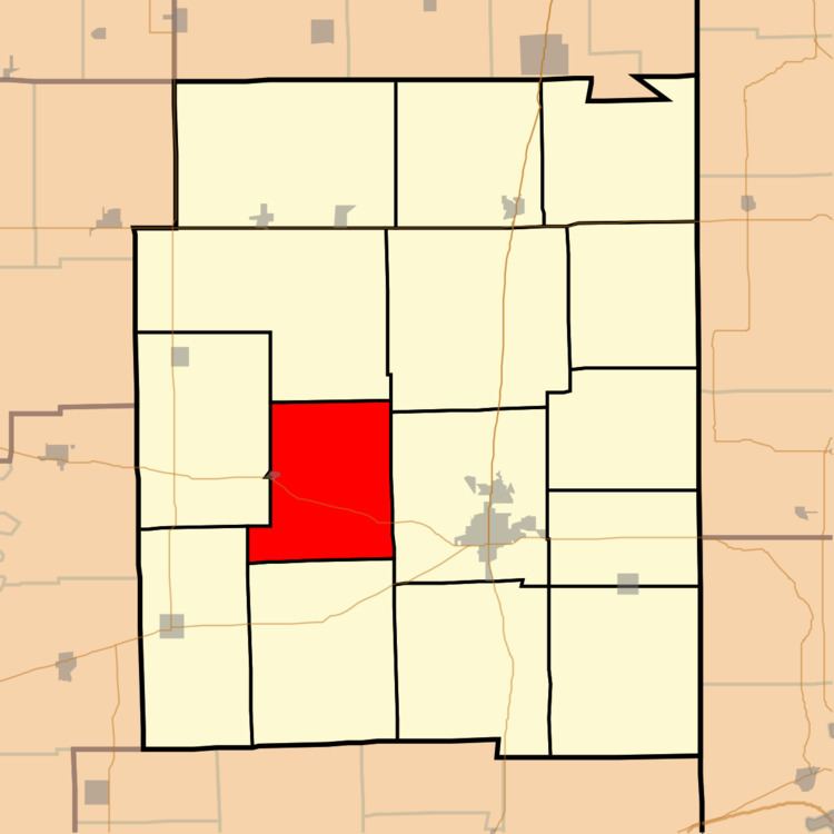
- Map of Buck Township IL USA
- Geography
- Cities towns villages
- Extinct towns
- Major highways
- School districts
- Political districts
- References
Map of Buck Township, IL, USA
Geography
According to the 2010 census, the township has a total area of 34.29 square miles (88.8 km2), all land.
Cities, towns, villages
Extinct towns
Major highways
School districts
Political districts
References
Buck Township, Edgar County, Illinois Wikipedia(Text) CC BY-SA