
Traversed by Foot trail Elevation 3,608 m | Topo map USGS Isolation Peak | |
 | ||
Similar Pawnee Pass, Rocky Mountains, Coney Flats Road, Mount Audubon, Saint Vrain Mountain | ||
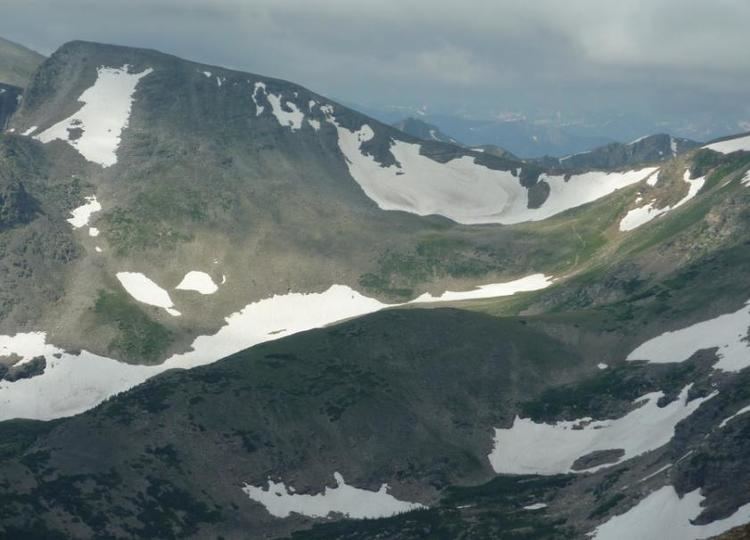
Buchanan Pass, elevation 11,844 ft (3,610 m), is a mountain pass located in the Rocky Mountains of north-central Colorado in the United States. The pass is toward the northern end of the Indian Peaks of the Front Range on the Grand-Boulder county line, between the Buchanan Creek drainage to the west and the Middle St. Vrain Creek drainage to the east. It is traversed by the Buchanan Pass Trail which travels from its junction with the Cascade Creek Trail on the west to the Camp Dick campground on the east, close to Peaceful Valley. The pass is in the Indian Peaks Wilderness of the Arapaho and Roosevelt National Forests and is the eastern-most mountain pass on the continental divide.
Map of Buchanan Pass, Colorado 80446, USA
References
Buchanan Pass Wikipedia(Text) CC BY-SA