
 | ||
Buache Peak (Bulgarian: връх Бюаш, ‘Vrah Buache’ \'vr&h byu-'ash) is the mostly ice-covered peak rising to 600 m on Two Hummock Island in the Palmer Archipelago, Antarctica. The feature has precipitous and partly ice-free west-northwest slopes, and is one of the two ‘hummocks’ that gave the name of the island.
Contents
Map of Buache Peak, Antarctica
The peak is named after the French cartographer Philippe Buache (1700-1773) who published maps of the south polar region in 1739 and 1754.
Location
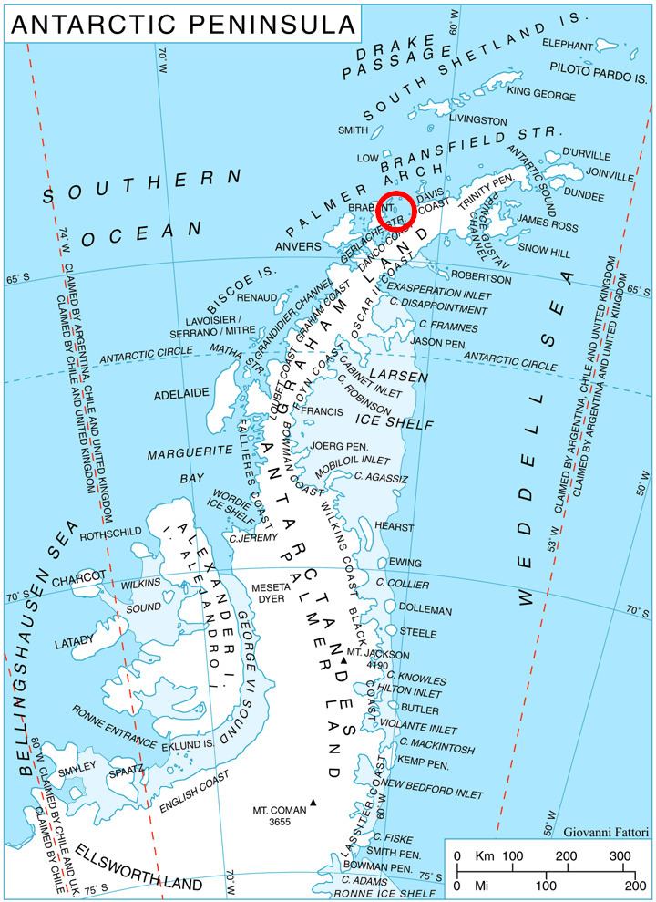
Buache Peak is located at 64°08′20″S 61°43′38″W, which is 1.63 km southwest of Modev Peak, 4.8 km northwest of Veyka Point and 1.93 km northeast of Palaver Point. British mapping in 1978.
Maps
References
Buache Peak Wikipedia(Text) CC BY-SA