
Country Thailand Time zone THA (UTC+7) Geocode 3030 Population 25,061 (2000) | Seat Mueang Phalai Postal code 30120 Area 133.1 km² | |
 | ||
Province Nakhon Ratchasima Province | ||
Bua Lai (Thai: บัวลาย) is a district (amphoe) in the northeastern part of Nakhon Ratchasima Province, northeastern Thailand.
Contents
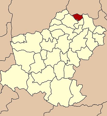
Map of Bua Lai District, Nakhon Ratchasima, Thailand
History
The area of Bua Lai was separated from Bua Yai district and made a minor district (King Amphoe) on July 1, 1997. Most of the people of Bua Lai originally migrated there from Maha Sarakham and Roi Et Province.
Following a decision of the Thai government on May 15, 2007, all of the 81 minor districts were to be upgraded to full districts. With the publishing in the Royal Gazette on August 24 the upgrade became official.
Geography
Neighboring districts are (from the north clockwise) Waeng Noi and Phon of Khon Kaen Province, and Prathai, Sida and Bua Yai.
Administration
The district is subdivided into 4 subdistricts (tambon). The township (thesaban tambon) Nong Bua Lai covers parts of the tambon Bua Lai.