
Phone +44 1492 574000 | ||
 | ||
Address 60 Tan-Y-Bryn Rd, Rhos on Sea, Colwyn Bay LL28 4AB, UK Hours Open today · Open 24 hoursSundayOpen 24 hoursMondayOpen 24 hoursTuesdayOpen 24 hoursWednesdayOpen 24 hoursThursdayOpen 24 hoursFridayOpen 24 hoursSaturdayOpen 24 hours Similar Mynydd y Dref, Carn Fadryn, Garn Boduan, Tal y Fan, Yr Eifl | ||
Bryn euryn rhos on sea
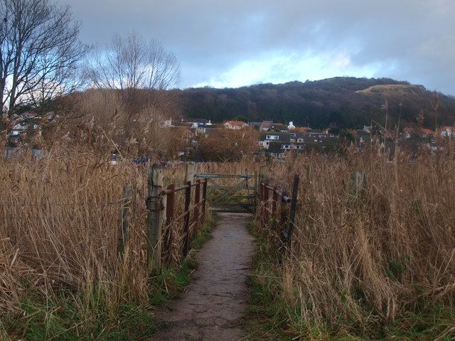
Bryn Euryn is a mountain which is a Site of Special Scientific Interest in Conwy County Borough, Wales; grid reference SH832798. There is a trig point at the summit. It lies above the seaside town of Rhos-on-Sea. It is 131 metres (430 feet) above sea level, and is listed as a HuMP. At the bottom of the hill are the remains of Llys Euryn.
Contents
Bryn euryn
Dinerth
The site commands extensive views of the Conwy Valley and coast, and was once the location of a hillfort, which was initially excavated in the autumn of 1997 for the Gwynedd Archaeological Trust. The excavations revealed a "massive, well-built" wall formed from quarried limestone, believed to have once been 3 m (9.8 ft) high and to have been fronted by 3.5 m (11 ft) of rubble. There were no archaeological discoveries permitting a certain identification, but the pre-Norman layout led David Longley, the study's director, to connect it with the early-6th century king of Rhos Cynlas the Red on the basis of the "Bear Den" (Latin: receptaculi ursi) mentioned in Gildas's passage on him and the surviving local name of the area as Dinerth (Old Welsh: Din Eirth, "Fort Bear").
The hilltop was used again in World War II first as an observation post by the Home Guard; it was then used by the RAF as one of the first radar posts used to detect German bombers heading to Liverpool.