
Country United States ZIP codes 40410 Elevation 287 m | Time zone Eastern (EST) (UTC-5) GNIS feature ID 488178 Local time Saturday 9:35 PM | |
 | ||
Weather 5°C, Wind NE at 10 km/h, 50% Humidity | ||
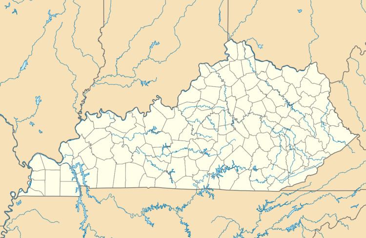
Bryantsville is an unincorporated community in Garrard County, Kentucky, United States. It lies along U.S. Route 27 northwest of the city of Lancaster, the county seat of Garrard County. Its elevation is 942 feet (287 m). Although it is unincorporated, it has a post office, with the ZIP code of 40410.
Contents
Map of Bryantsville, KY 40444, USA
Education
Bryantsville is served by Garrard County Public Schools.
Notable people
References
Bryantsville, Kentucky Wikipedia(Text) CC BY-SA