
Vehicle registration SD Elevation 383 m Population 1,971 (1 Apr 2009) Postal code 4786 | Time zone CET (UTC+1) Website www.brunnenthal.at Area 15 km² Local time Sunday 1:05 AM Area code 07712 | |
 | ||
Weather 8°C, Wind SW at 2 km/h, 63% Humidity | ||
Brunnenthal is a municipality in the district of Schärding in the Austrian state of Upper Austria.
Contents
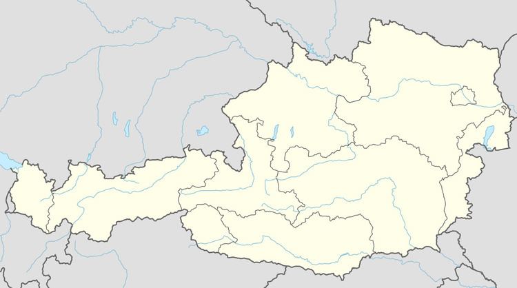
Map of 4786 Brunnenthal, Austria
Geography
Brunnenthal lies in the Innviertel. About 21 percent of the municipality is forest, and 67 percent is farmland.
References
Brunnenthal, Austria Wikipedia(Text) CC BY-SA