
Population 335 (2006 census) Local time Sunday 10:59 AM | Postcode(s) 2722 County Buccleuch Postal code 2722 | |
 | ||
Location 390 km (242 mi) from Sydney93 km (58 mi) from Wagga Wagga20 km (12 mi) from Tumut13 km (8 mi) from Gundagai Weather 25°C, Wind SW at 11 km/h, 55% Humidity | ||
Brungle is a village community in the central east part of the Riverina region, New South Wales, Australia. It is situated by road, about 16 kilometres (9.9 mi) south-east of Gundagai and 20 kilometres north-east of Tumut. It has a population of 335&.
Map of Brungle NSW 2722, Australia
Brungle Post Office opened on 1 January 1868 and closed in 1975.
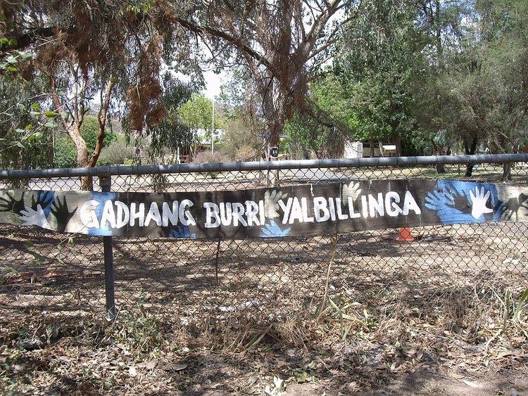
Brungle is home to a large community of Waradajhi people. The Brungle Public School is testament to this with its sign at the front of the school, written in the local Aboriginal language that states Gadhang Burri Yalbillinga which means Happy Children Learn. The school was established back in 1868 and has an enrolment of approximately 26 pupils in two classes of whom at any one time about 56% are Waradajhi.
References
Brungle, New South Wales Wikipedia(Text) CC BY-SA