
Population 579 (2006 census) Postcode(s) 5252 Founded 1952 Local time Sunday 9:40 AM | Established 1952 Postal code 5252 | |
 | ||
Weather 17°C, Wind SE at 18 km/h, 67% Humidity | ||
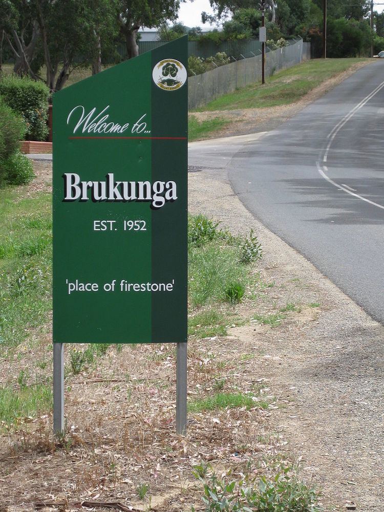
Brukunga is a small town in the Adelaide Hills, located approximately 40 km east of Adelaide and 4 km north of the town of Nairne. Its name, derived from Barrukungga in the local Aboriginal language, means 'place of fire stone' or the 'place of hidden fire', and is associated with the Kaurna ancestral being Tjilbruke.
Map of Brukunga SA 5252, Australia
At the 2006 census, Brukunga had a population of 579.
Between 1955 and 31 May 1972, iron sulphides (mainly as the mineral pyrite) were mined at the Nairne Pyrite Mine—later renamed as the Brukunga Mine—immediately west of the town, and transported to Port Adelaide for the production of sulphuric acid and superphosphate fertiliser. Oxidation of pyrite in waste dumps and the exposed quarry face led to formation of acid mine drainage containing high levels of cadmium and other heavy metals into the adjacent creek, triggering health warnings by the Environment Protection Agency. Since 1980, rehabilitation of the mine site has occurred, including a lime neutralisation plant to treat acid water before it enters the Dawesley Creek, but concerns over water quality remain.
Revegetation of the site has also progressively occurred since 1988.
The town is also the location of the Country Fire Service training centre.