Samiksha Jaiswal (Editor)

Bruce Island

Updated on
Edit
Like
Comment
Share on FacebookTweet on TwitterShare on LinkedInShare on Reddit
Island group
  
Franz Josef Land

Bruce Island

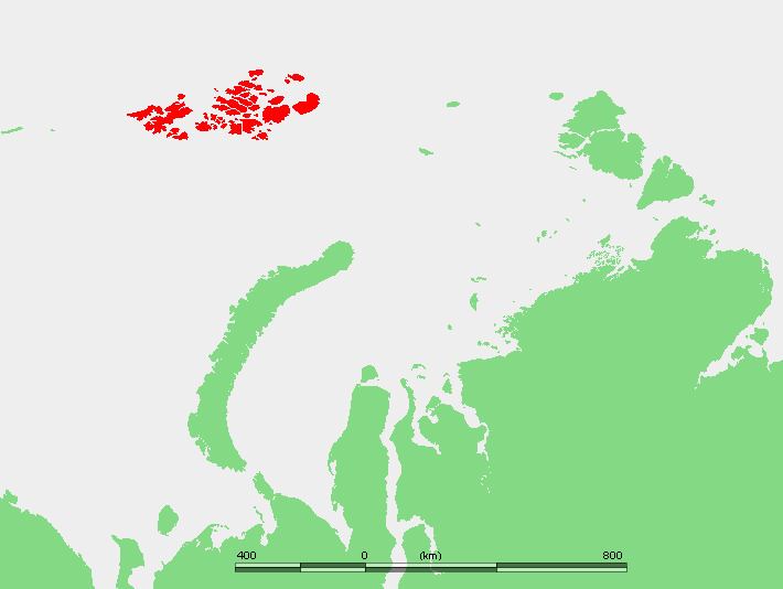
Bruce Island (Russian: Остров Брюса; Ostrov Brjusa) is an island in Franz Josef Land, Russia. Its area is 191 square kilometres (74 sq mi). The highest point of the island is 301 metres (988 ft).

Contents

Map of Bruce Island, Arkhangelsk Oblast, Russia

Except for a very small area at the western shoreline, Bruce Island is completely glacierized. Mys Pinegina is a cape on the eastern side.

This island was named after Henry Bruce, who succeeded the Earl of Northbrook as President of the Royal Geographical Society.

The Mieres Channel (Пролив Майерса) runs between Bruce Island and Northbrook Island.

The sound running west of Bruce Island, separating it from Zemlya Georga, is known as the Nightingale Channel (Proliv Naytingeyl).

Adjacent Islands

  • Ostrov Meybel (Остров Мейбел; Mabel Island) lies 4 km (2 mi) off Bruce Island's southwestern shore. Large swathes of the southwestern part of the island are unglacierized. The highest point is 365 m (1,198 ft). This island was named after Alexander Graham Bell's wife Mabel Hubbard.
  • Ostrov Bell (Остров Белл; Bell Island) is a smaller non glacierized island lying off Mabel Island's southwestern shore, separated from it by a narrow sound which is only 500 m (1,640 ft) in some places. Bell island is crescent shaped and it has a bay that opens to the west. Benjamin Leigh Smith call her because she look like a bell.
  • Ostrov Uinduord (Остров Уиндуорд; Windward Island) is a small island lying close to Bruce Island's southeastern end.
  • Ostrov Toma (Остров тома; Tom Island) is a very small island lying 3 km (1.9 mi) off Bruce Island's Eastern coast.
  • References

    Bruce Island Wikipedia