
Country United States County Coffee FIPS code 13-11504 Elevation 87 m Population 1,188 (2013) Area code 912 | Time zone Eastern (EST) (UTC-5) GNIS feature ID 0354876 Zip code 31519 Local time Saturday 4:45 PM | |
 | ||
Weather 18°C, Wind E at 11 km/h, 24% Humidity Area 8.806 km² (8.288 km² Land / 26 ha Water) | ||
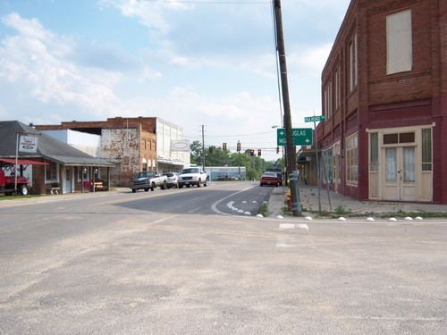
Broxton is a city in Coffee County, Georgia, United States. The population was 1,189 at the 2010 census. It is known for its unique sandstone formation called Broxton Rocks along Rocky Creek 10 miles (16 km) north of town.
Contents
Map of Broxton, GA 31519, USA
Geography
Broxton is located in north-central Coffee County at 31°37′39″N 82°53′23″W (31.627415, -82.889709). U.S. Route 441 passes through the city, leading south 9 miles (14 km) to Douglas, the county seat, and north 33 miles (53 km) to McRae.
According to the United States Census Bureau, Broxton has a total area of 3.4 square miles (8.7 km2), of which 3.2 square miles (8.4 km2) is land and 0.12 square miles (0.3 km2), or 3.58%, is water.
Demographics
As of the census of 2000, there were 1,428 people, 527 households, and 363 families residing in the city. The population density was 440.8 people per square mile (170.2/km²). There were 612 housing units at an average density of 188.9 per square mile (72.9/km²). The racial makeup of the city was 42.65% White, 50.35% African American, 0.28% Native American, 5.67% from other races, and 1.05% from two or more races. Hispanic or Latino of any race were 7.49% of the population.
There were 527 households out of which 38.7% had children under the age of 18 living with them, 41.2% were married couples living together, 23.0% had a female householder with no husband present, and 31.1% were non-families. 27.5% of all households were made up of individuals and 14.4% had someone living alone who was 65 years of age or older. The average household size was 2.68 and the average family size was 3.28.
In the city, the population was spread out with 32.1% under the age of 18, 9.2% from 18 to 24, 27.8% from 25 to 44, 19.8% from 45 to 64, and 11.1% who were 65 years of age or older. The median age was 31 years. For every 100 females there were 86.7 males. For every 100 females age 18 and over, there were 77.5 males.
The median income for a household in the city was $22,900, and the median income for a family was $26,211. Males had a median income of $24,408 versus $19,226 for females. The per capita income for the city was $11,984. About 22.0% of families and 26.9% of the population were below the poverty line, including 34.0% of those under age 18 and 25.0% of those age 65 or over.