
Population 244 (2011) Broxburn SouthbrookFelton | Postcode(s) 4356 Postal code 4356 | |
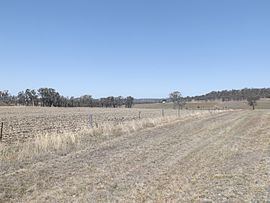 | ||
Broxburn is a locality in the Toowoomba Region of the Darling Downs in southern Queensland, Australia. At the 2011 Australian Census Broxburn and surrounds recorded a population of 244.
Contents
Map of Broxburn QLD 4356, Australia
Geography
The northwest boundary follows the Gore Highway. Close to the northern boundary is the Millmerran railway line which had a stop at Broxburn.
History
The Broxburn Provisional School opened on 13 June 1898. In 1909, it became Broxburn State School. It closed in 1959.
References
Broxburn, Queensland Wikipedia(Text) CC BY-SA