
Country United States ZIP code 32505 Local time Saturday 3:25 PM | Time zone Central (CST) (UTC-6) Area code(s) 850 | |
 | ||
Weather 19°C, Wind SE at 13 km/h, 25% Humidity | ||
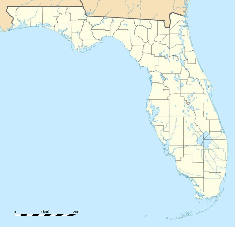
Brownsville is an unincorporated community in Escambia County, Florida, United States. It is located within the census-designated place of West Pensacola. It was enumerated as a Census-Designated Place in 1960, when the population recorded was 38,417. The ZIP code for Brownsville is 32505.
Contents
- Map of Brownsville West Pensacola FL 32505 USA
- Geography
- Major surface roads in Brownsville
- Education
- References
Map of Brownsville, West Pensacola, FL 32505, USA
Geography
Brownsville is located at 30.4 degrees north, 87.3 degrees west (30.4252, -87.2519); or approximately three miles northwest of Pensacola. The elevation for the community is 85 feet above sea level.
Brownsville boundaries include the city of Pensacola to the south and east, Avery Street to the north, and West Pensacola to the west.
Major surface roads in Brownsville
Some of the major surface roads serving the community include:
Education
The community of Brownsville is served by Escambia County School District, which serves the entire county.