
Country United States GNIS feature ID 1512039 Zip code 98920 Area code 509 | State Washington Time zone Pacific (PST) (UTC-8) Elevation 260 m Local time Saturday 1:21 PM | |
 | ||
Weather 9°C, Wind NW at 8 km/h, 40% Humidity | ||
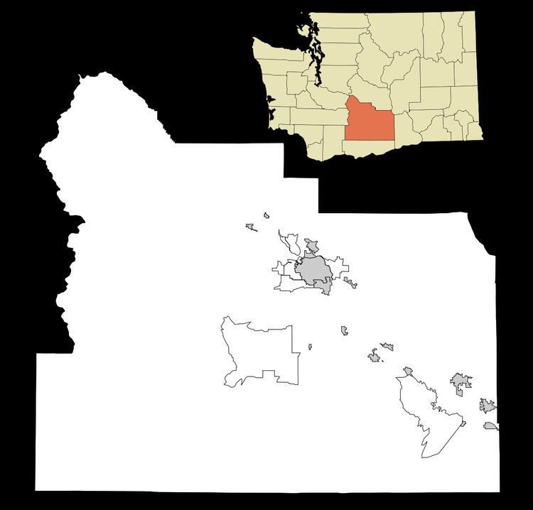
Brownstown is an unincorporated community in Yakima County, Washington, United States. Brownstown is 3 miles (4.8 km) west of Harrah. Brownstown has a post office with ZIP code 98920.
Map of Brownstown, WA 98933, USA
It is a loosely-knit farming community within the Yakama Nation Reservation approximately halfway between Wapato and White Swan. USPS Post Office for Brownstown is at the intersection of Branch Road with Brownstown Road.
References
Brownstown, Washington Wikipedia(Text) CC BY-SA