
- location near Neika | - elevation 464 m (1,522 ft) - elevation 0 m (0 ft) | |
 | ||
Similar Hobart Rivulet, Cam River, Shot Tower - Taroona, Mount Heemskirk, Cockle Creek | ||
The Browns River is a perennial river located on the east coast of Tasmania, Australia.
Contents
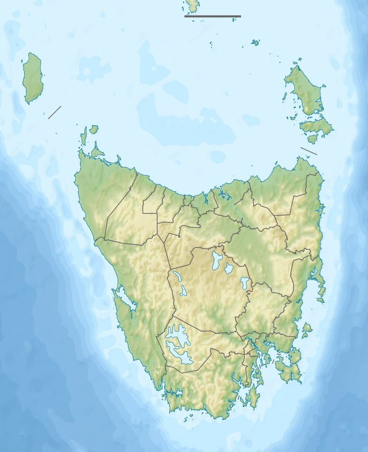
Map of Browns River, Tasmania, Australia
Course and features
The river rises near Neika and flows generally east towards Kingston, where it empties into Halfmoon Bay within the D'Entrecasteaux Channel that also forms part of the Derwent estuary. The river descends 464 metres (1,522 ft) over its 12-kilometre (7.5 mi) course.
The river was known to the indigenous people of the area as Promenalinah.
The river was named after botanist Robert Brown who collected samples in the area in 1804. When it was settled in 1808, the area adjacent to the river was also called Browns River. The locality was renamed "Kingston" in 1851.
References
Browns River (Tasmania) Wikipedia(Text) CC BY-SA