
Country United States GNIS feature ID 0453142 Area 80.11 km² Population 1,199 (2010) | ZIP codes 47108 47452 Elevation 215 m Local time Saturday 3:01 PM | |
 | ||
Weather 13°C, Wind S at 11 km/h, 30% Humidity | ||
Brown Township is one of thirteen townships in Washington County, Indiana, United States. As of the 2010 census, its population was 1,199 and it contained 545 housing units.
Contents
- Map of Brown Township IN 47108 USA
- Geography
- Cities towns villages
- Unincorporated towns
- Adjacent townships
- Cemeteries
- Rivers
- School districts
- Political districts
- References
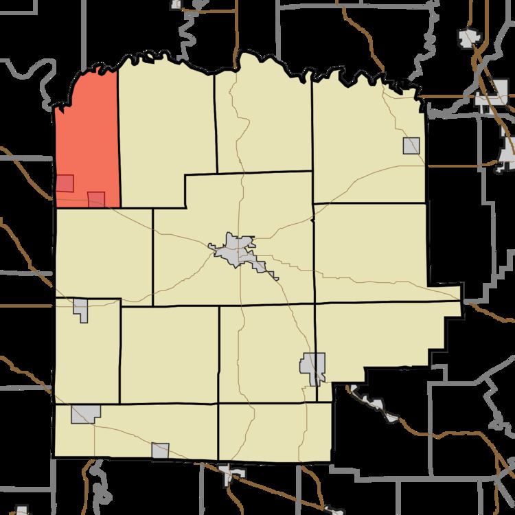
Map of Brown Township, IN 47108, USA
Geography
According to the 2010 census, the township has a total area of 30.93 square miles (80.1 km2), of which 30.73 square miles (79.6 km2) (or 99.35%) is land and 0.2 square miles (0.52 km2) (or 0.65%) is water.
Cities, towns, villages
Unincorporated towns
(This list is based on USGS data and may include former settlements.)
Adjacent townships
Cemeteries
The township contains these two cemeteries: Mount Carmeltoe and New Hope.
Rivers
School districts
Political districts
References
Brown Township, Washington County, Indiana Wikipedia(Text) CC BY-SA