
OS grid reference NZ0360 Post town STOCKSFIELD Local time Saturday 5:55 PM | Sovereign state United Kingdom Postcode district NE43 Dialling code 01661 | |
 | ||
Weather 8°C, Wind SE at 6 km/h, 82% Humidity | ||
Broomley is a village in Northumberland, England. It is situated between Hexham and Newcastle, to the south of the River Tyne and west of Stocksfield.
Contents
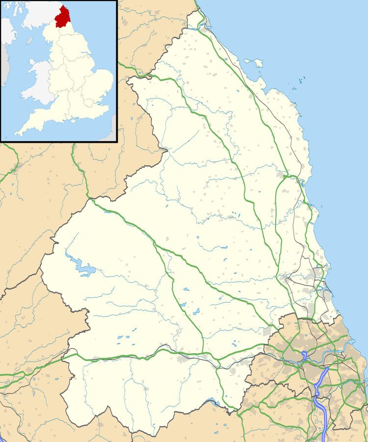
Map of Broomley, Stocksfield, UK
Landmarks
Dere Street, a Roman road passes close by the village to the southwest.
References
Broomley Wikipedia(Text) CC BY-SA