
Population 333 (2006 census) | Postcode(s) 4570 | |
 | ||
Location 160 km (99 mi) N of Brisbane40 km (25 mi) S of Gympie5 km (3 mi) SE of Imbil Weather 22°C, Wind S at 5 km/h, 97% Humidity | ||
Brooloo is a town in the Sunshine Coast hinterland region of Queensland, Australia. The town is located in the Gympie Region local government area, 160 kilometres (99 mi) north of the state capital, Brisbane. At the 2006 census, Brooloo and the surrounding area had a population of 333.
Contents
Map of Brooloo QLD 4570, Australia
History
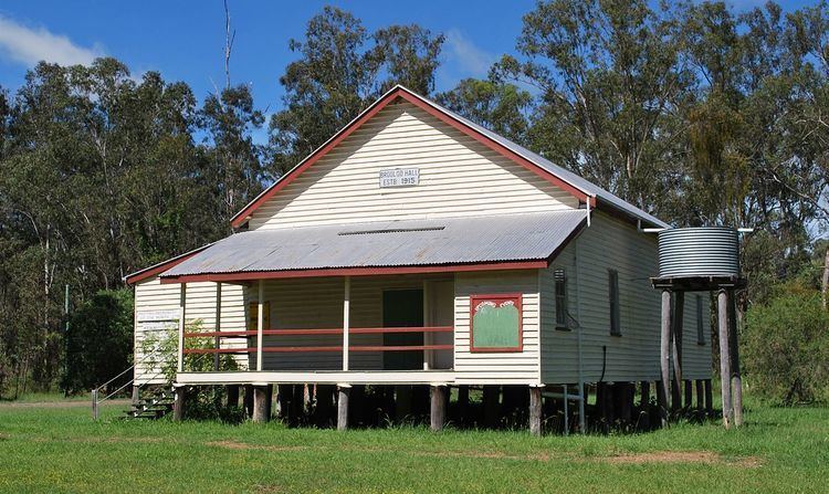
Brooloo Post Office opened by June 1915 (a receiving office had been open from March 1914). In 1922 the Brooloo Rail office was renamed Brooloo and replaced the previous office. It closed in 1972.
References
Brooloo, Queensland Wikipedia(Text) CC BY-SA