
Population 322 (2011) Sovereign state United Kingdom Dialling code 01452 | OS grid reference SO837121 Local time Saturday 5:31 PM | |
 | ||
Weather 8°C, Wind SW at 19 km/h, 82% Humidity | ||
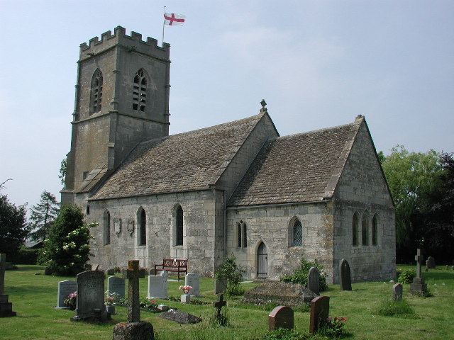
Brookthorpe-with-Whaddon is a civil parish in the Stroud district of Gloucestershire, England. According to the 2001 census it had a population of 308, increasing to 322 at the 2011 census. It consists of the small villages of Brookthorpe and Whaddon, both to the south of Gloucester.
Map of Brookthorpe-with-Whaddon, UK
Whaddon is almost contiguous with the Gloucester suburb of Tuffley, while Brookthorpe is 1 mile (1.6 km) further south, on the other side of the M5 motorway and close to the escarpment of the Cotswold hills.
To the north of the parish is the unparished area of the City of Gloucester. Parishes adjoining Brookthorpe-with-Whaddon are: Upton St Leonards to the north-east; Painswick to the east; Harescombe to the south; Haresfield to the south-west; and Quedgeley to the west. The last is in Gloucester district, the others are in Stroud district.