
Country United States Time zone Eastern (EST) (UTC-5) Local time Saturday 1:39 AM | Organized 1841 Elevation 285 m Population 1,429 (2000) | |
 | ||
Weather -8°C, Wind NE at 2 km/h, 71% Humidity Area 93.76 km² (92.98 km² Land / 78 ha Water) | ||
Brookfield Township is a civil township of Eaton County in the U.S. state of Michigan. As of the 2010 census, the township population was 1,537.
Contents
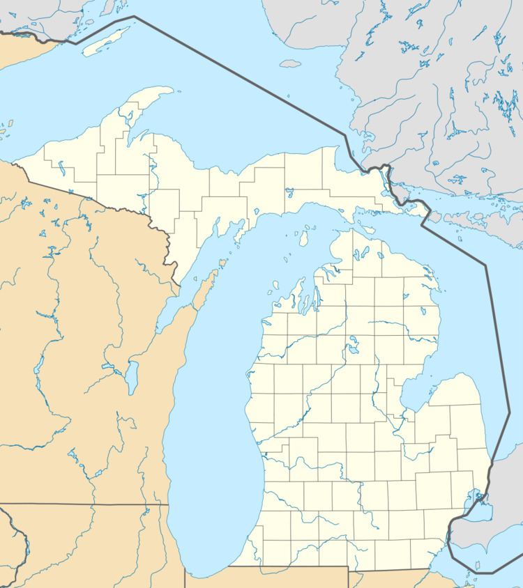
Map of Brookfield Township, MI, USA
Communities
There are no incorporated municipalities in the township.
Geography
According to the United States Census Bureau, the township has a total area of 36.2 square miles (93.8 km²), of which 35.9 square miles (93.0 km²) is land and 0.3 square mile (0.8 km²) (0.86%) is water.
Demographics
As of the census of 2000, there were 1,429 people, 538 households, and 399 families residing in the township. The population density was 39.8 per square mile (15.4/km²). There were 577 housing units at an average density of 16.1 per square mile (6.2/km²). The racial makeup of the township was 98.11% White, 0.28% Native American, 0.07% Asian, 0.49% from other races, and 1.05% from two or more races. Hispanic or Latino of any race were 2.38% of the population.
There were 538 households out of which 32.9% had children under the age of 18 living with them, 65.6% were married couples living together, 4.8% had a female householder with no husband present, and 25.8% were non-families. 20.4% of all households were made up of individuals and 7.2% had someone living alone who was 65 years of age or older. The average household size was 2.66 and the average family size was 3.09.
In the township the population was spread out with 26.4% under the age of 18, 7.1% from 18 to 24, 29.7% from 25 to 44, 24.8% from 45 to 64, and 12.0% who were 65 years of age or older. The median age was 39 years. For every 100 females there were 99.0 males. For every 100 females age 18 and over, there were 98.9 males.
The median income for a household in the township was $47,604, and the median income for a family was $53,875. Males had a median income of $39,444 versus $26,250 for females. The per capita income for the township was $19,720. About 3.2% of families and 6.1% of the population were below the poverty line, including 7.3% of those under age 18 and 3.6% of those age 65 or over.