
Country United States County Carroll Time zone Eastern (UTC-5) Elevation 184 m Population 712 (2010) | Incorporated 1778 Area code(s) 603 Zip code 03872 Local time Saturday 1:41 AM | |
 | ||
Weather -12°C, Wind NW at 23 km/h, 45% Humidity | ||
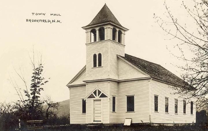
Brookfield is a town in Carroll County, New Hampshire, United States. The population was 712 at the 2010 census.
Contents
Map of Brookfield, NH 03872, USA
History
Settled in 1726 by Scottish-Irish immigrants, the town was first named Coleraine. Fertile ground made it popular with farmers. It was later renamed Brookfield, after Brookfield, Massachusetts, and made a part of Middleton. But in 1785 Brookfield petitioned, unsuccessfully, to be set off from Middleton. This was due to the division of the original town of Middleton into two parts by the long, high ridge of Moose Mountain, then a considerable obstacle to travel. Town meetings, traditionally held in the muddy season of March, were particularly difficult to attend for those beyond the ridge. In 1794, however, permission was granted, and Brookfield incorporated. And in 1840, when Carroll County was set off from Strafford County, Brookfield went with Carroll, and Middleton remained with Strafford.
In 1874, the Wolfeborough Branch Railroad passed through this town.
Geography
According to the United States Census Bureau, the town has a total area of 23.3 square miles (60 km2), of which 22.9 sq mi (59 km2) is land and 0.4 sq mi (1.0 km2) is water, comprising 1.68% of the town. Brookfield is drained primarily by the Branch River and Pike Brook, within the Piscataqua River (coastal) watershed, though the western edge of the town is in the Merrimack River watershed and the northernmost tip of the town is in the Saco River watershed. Copple Crown Mountain, the highest point in Brookfield, has an elevation of 1,868 feet (569 m) above sea level.
Brookfield is served by New Hampshire Route 109.
Demographics
As of the census of 2000, there were 604 people, 236 households, and 180 families residing in the town. The population density was 26.4 people per square mile (10.2/km²). There were 280 housing units at an average density of 12.2 per square mile (4.7/km²). The racial makeup of the town was 99.01% White, 0.33% Native American, 0.17% Pacific Islander, and 0.50% from two or more races. Hispanic or Latino of any race were 0.33% of the population.
There were 236 households out of which 30.5% had children under the age of 18 living with them, 66.5% were married couples living together, 6.8% had a female householder with no husband present, and 23.7% were non-families. 18.2% of all households were made up of individuals and 7.2% had someone living alone who was 65 years of age or older. The average household size was 2.56 and the average family size was 2.93.
In the town, the population was spread out with 23.3% under the age of 18, 5.5% from 18 to 24, 25.3% from 25 to 44, 29.1% from 45 to 64, and 16.7% who were 65 years of age or older. The median age was 43 years. For every 100 females there were 94.2 males. For every 100 females age 18 and over, there were 91.3 males.
The median income for a household in the town was $52,132, and the median income for a family was $54,688. Males had a median income of $36,154 versus $26,719 for females. The per capita income for the town was $25,745. About 1.1% of families and 1.5% of the population were below the poverty line, including none of those under age 18 and 1.9% of those age 65 or over.