
Country United States FIPS code 19-08650 Elevation 342 m Zip code 51007 Local time Friday 11:35 PM | Time zone Central (CST) (UTC-6) GNIS feature ID 0454840 Area 80 ha Population 323 (2013) Area code 712 | |
 | ||
Weather 1°C, Wind E at 13 km/h, 71% Humidity | ||
Bronson is a city in Woodbury County, Iowa, United States. It is part of the Sioux City, IA–NE–SD Metropolitan Statistical Area. The population was 322 at the 2010 census.
Contents
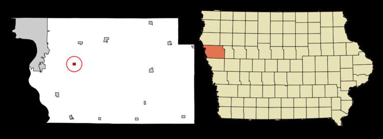
Map of Bronson, IA 51007, USA
Bronson has a 4th of July celebration with fireworks each year. It celebrated its centennial in 2003. A publication was produced with some town history.
History
Bronson was laid out in 1901. It was named for Ira D. Bronson, an early settler.
Geography
Bronson is located at 42°24′34″N 96°12′42″W (42.409450, -96.211564).
According to the United States Census Bureau, the city has a total area of 0.31 square miles (0.80 km2), all of it land.
2010 census
As of the census of 2010, there were 322 people, 113 households, and 82 families residing in the city. The population density was 1,038.7 inhabitants per square mile (401.0/km2). There were 117 housing units at an average density of 377.4 per square mile (145.7/km2). The racial makeup of the city was 97.8% White, 0.6% Native American, and 1.6% from two or more races. Hispanic or Latino of any race were 1.2% of the population.
There were 113 households of which 42.5% had children under the age of 18 living with them, 59.3% were married couples living together, 7.1% had a female householder with no husband present, 6.2% had a male householder with no wife present, and 27.4% were non-families. 21.2% of all households were made up of individuals and 6.2% had someone living alone who was 65 years of age or older. The average household size was 2.85 and the average family size was 3.40.
The median age in the city was 33 years. 32.9% of residents were under the age of 18; 6.9% were between the ages of 18 and 24; 27% were from 25 to 44; 23.6% were from 45 to 64; and 9.6% were 65 years of age or older. The gender makeup of the city was 50.3% male and 49.7% female.
2000 census
As of the census of 2000, there were 269 people, 100 households, and 74 families residing in the city. The population density was 825.0 people per square mile (314.7/km²). There were 103 housing units at an average density of 315.9 per square mile (120.5/km²). The racial makeup of the city was 98.88% White, 0.37% Asian, and 0.74% from two or more races.
There were 100 households out of which 42.0% had children under the age of 18 living with them, 59.0% were married couples living together, 10.0% had a female householder with no husband present, and 26.0% were non-families. 19.0% of all households were made up of individuals and 8.0% had someone living alone who was 65 years of age or older. The average household size was 2.69 and the average family size was 3.08.
In the city, the population was spread out with 30.9% under the age of 18, 6.3% from 18 to 24, 36.8% from 25 to 44, 18.6% from 45 to 64, and 7.4% who were 65 years of age or older. The median age was 33 years. For every 100 females there were 108.5 males. For every 100 females age 18 and over, there were 102.2 males.
The median income for a household in the city was $52,727, and the median income for a family was $53,409. Males had a median income of $32,386 versus $22,031 for females. The per capita income for the city was $19,086. None of the families and 0.4% of the population were living below the poverty line.