
- left Delmas River - elevation 1,306 m (4,285 ft) | - elevation 1,630 m (5,348 ft) | |
 | ||
- location East of Springs, Gauteng - location ENE of Bronkhorstspruit | ||
The Bronkhostspruit, (English: Bronkhorst stream), is a river in Gauteng, province South Africa. It is a tributary of the Wilge River, Olifants River basin that gives its name to Bronkhorstspruit town.
Contents
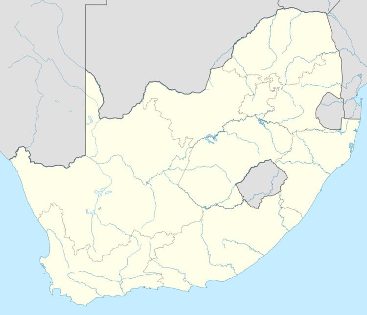
Map of Bronkhorstspruit, South Africa
Course
Its sources are located in the highveld grasslands, about 30 km to the ESE of the town of Springs, Gauteng. It flows roughly northwards and its main tributary, the Delmas River, joins its left bank. Further downstream it flows into the Bronkhorstspruit Dam. Then before it bends northeastwards it passes by the Bronkhorstspruit urban area. Finally it joins the Wilge River further about 25 km to the ENE of the town, shortly after entering Mpumalanga Province.
History
In 1880 this river was the scene of the action at Bronkhorstspruit, a battle between a Boer commando under the command of Frans Joubert and British troops under Lieutenant-Colonel Anstruther. It was one of the first serious clashes in the early days of the First Boer War.