
Admin. region Darmstadt Time zone CET/CEST (UTC+1/+2) Area 20.44 km² Local time Saturday 5:18 AM Dialling code 06063 | Postal codes 64753 Population 3,707 (30 Jun 2009) Postal code 64753 Administrative region Darmstadt | |
 | ||
Weather 3°C, Wind S at 8 km/h, 84% Humidity | ||
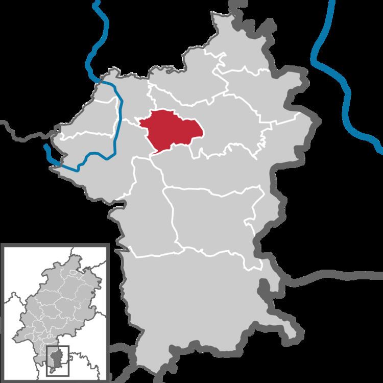
Brombachtal is a community in the Odenwaldkreis (district) in Hesse, Germany.
Contents
- Map of 64753 Brombachtal Germany
- Location
- Neighbouring communities
- Constituent communities
- Politics
- Mayor
- Buildings
- Transport
- References
Map of 64753 Brombachtal, Germany
Location
The community lies in the centre of the Odenwald near Bad König.
Neighbouring communities
Brombachtal borders in the north and east on the town of Bad König, in the south on the town of Michelstadt and in the west on the communities of Reichelsheim and Brensbach.
Constituent communities
Brombachtal’s five Ortsteile are Birkert, Böllstein, Hembach, Kirchbrombach (the community’s administrative seat) and Langenbrombach.
Politics
The municipal election held on 26 March 2006 yielded the following results:
Mayor
At the runoff election on 11 June 2004, Willi Kredel (SPD) was elected Mayor of Brombachtal with 66.9% of the vote.
Buildings
In the centre of Kirchbrombach stands the Evangelical church built in the mid 15th century with its polyptych, or “winged”, altar, built in 1518 and dedicated to Saint Alban. The church belonged until the Reformation to Saint Alban’s Abbey in Mainz.
Transport
The community is linked to the long-distance road network by Bundesstraßen 45 (Hanau - Eberbach) and 47 (Walldürn - Worms).