
Elevation 72 m (236 ft) Local time Saturday 1:13 AM | Population 2,854 (2004) | |
 | ||
Weather 24°C, Wind NE at 8 km/h, 96% Humidity | ||
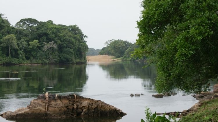
Brokopondo is a capital town of the Brokopondo District, Suriname. It is located on the west shore of the Suriname river, just north of the Afobaka dam. Brokopondo can be reached via the road from Paranam to Afobaka. There's a granite monument made by sculptor Jo Rens, displaying two men: one standing with a parrot and one sitting and writing. It ought to symbolize the past and the future.
Contents
Map of Brokopondo, Suriname
Demographically, the largest ethnic group of Brokopondo are the Maroons.
There's a large beach next to the Suriname river near the city centre.
References
Brokopondo Wikipedia(Text) CC BY-SA