
Parent range Pfälzerwald | Elevation 567 m | |
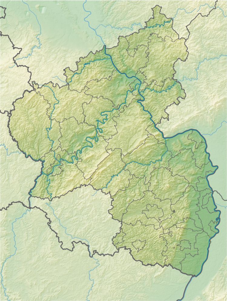 | ||
Location Bad Durkheim, Rhineland-Palatinate, Germany | ||
The Brogberg is a hill, 567 metres high, in the Palatine Forest in Germany. It is located west of Iggelbach, a village in the municipality of Elmstein. Northeast of the hill rises the Iggelbach stream, a left tributary of the Helmbach. The Brogberg lies entirely within the territory of the municipality of Elmstein.
Contents
Map of Brogberg, 67471 Elmstein, Germany
Maps
References
Brogberg Wikipedia(Text) CC BY-SA