
Time zone Eastern (EST) (UTC-5) Area 35.6 km² | GNIS feature ID 597135 Population 9,552 (2010) | |
 | ||
Country United States of America | ||
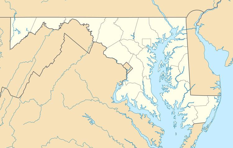
Brock Hall is an unincorporated area and census-designated place in eastern Prince George's County, Maryland, United States, located south of Bowie and north of Upper Marlboro. As of the 2010 census, the CDP had a population of 9,552.
Geography
Brock Hall is located in eastern Prince George's County, approximately 11 miles (18 km) east of the boundary of the District of Columbia and 2 miles (3 km) north of Upper Marlboro. U.S. Route 301 forms the eastern boundary of the community.
As of the 2010 census, the CDP had a total area of 13.7 square miles (35.6 km2), of which 13.6 square miles (35.3 km2) was land and 0.12 square miles (0.3 km2), or 0.98%, was water.
References
Brock Hall, Maryland Wikipedia(Text) CC BY-SA