
South end Sherwood Drive Length 9 km Major cities Sherwood Park, Edmonton | North end 137 Avenue NE Province Alberta | |
 | ||
Maintained by Strathcona County
and the City of Edmonton Location Sherwood Park, Edmonton Major
junctions Sherwood Drive, Baseline Road, Yellowhead Trail | ||
0 broadmoor boulevard se rio rancho nm 87124
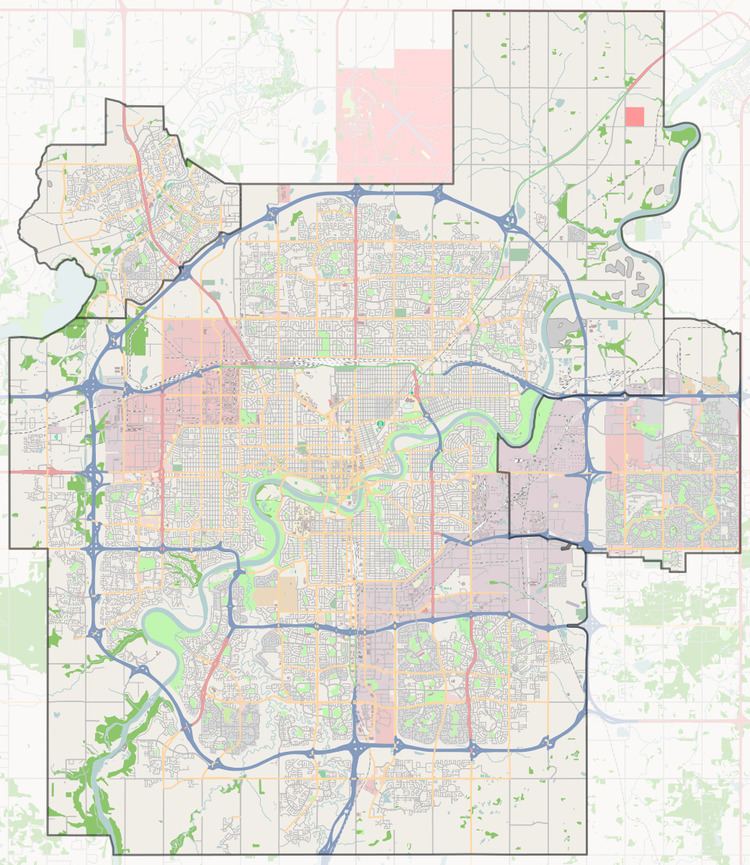
Broadmoor Boulevard is a major arterial road in Sherwood Park, Alberta, Canada. Like all arteries of Sherwood Park, it does not have a street number, and mostly runs through residential. After crossing Yellowhead Trail it enters Edmonton's east industrial district, and is called 17 Street NE. Because Edmonton has adapted a quadrant system, addresses on 33 Street and east have been encouraged to include NW to avoid confusion with addresses east of Meridian (1) Street, specifically 17 Street, as NW and NE are both major arteries.
Contents
- 0 broadmoor boulevard se rio rancho nm 87124
- Map of Broadmoor Blvd Sherwood Park AB Canada
- Homes for sale 2935 broadmoor boulevard se rio rancho nm 87124
- Neighbourhoods
- Interchanges and intersections
- References
Map of Broadmoor Blvd, Sherwood Park, AB, Canada
Homes for sale 2935 broadmoor boulevard se rio rancho nm 87124
Neighbourhoods
List of neighbourhoods Broadmoor Boulevard runs through, in order from south to north.
Interchanges and intersections
This is a list of major intersections, starting at the south end of Broadmoor Boulevard.
References
Broadmoor Boulevard Wikipedia(Text) CC BY-SA