
Existed: 1996 – present East end: BC 7 in Port Coquitlam Constructed 1996 Major cities Port Coquitlam, Coquitlam | West end: BC 1 in Coquitlam Length 7.4 km Province British Columbia | |
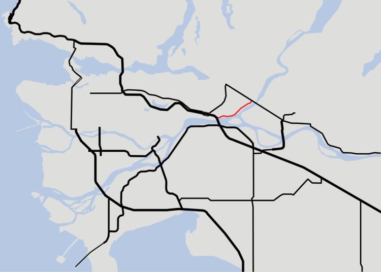 | ||
Highway 7B, known as the Mary Hill Bypass, is a 7.4 km-long (4.6 mi) riverside east-west link between the cities of Coquitlam to the west and Port Coquitlam to the east. The Mary Hill Bypass gained its '7B' designation in 1996, when it was widened from two to four lanes. Highway 7B meets Highway 7 at both of its ends, and also links to Highway 1 within Coquitlam at the Cape Horn Interchange.
Contents
- Map of BC 7B British Columbia Canada
- Route details
- Intersections west to east
- North Fraser Perimeter Road
- References
Map of BC-7B, British Columbia, Canada
Route details
The Mary Hill Bypass skirts around Mary Hill, which was developed in the early 1960s for residential housing. The Mary Hill Bypass begins at an intersection with United Boulevard in Coquitlam. Just west of this intersection are the ramps that connect Highway 1 and Highway 7 (westbound only). Highway 1 and Highway 7 eastbound could be accessed via United Boulevard. After crossing the Coquitlam River, the highway continues on, turning east and passing through a major intersection which provides access to downtown Port Coquitlam. Continuing northeast, the Mary Hill Bypass passes through another major intersection, then enters an industrial park and passes through another three intersections. After passing a railway underpass and one final intersection, the Mary Hill Bypass ends at Highway 7, which continues east to Pitt Meadows, Maple Ridge, and Mission. In the mid-1990s, the Mary Hill Bypass underwent a major improvement which included 4 laning and intersection upgrades.
The speed limit on the Mary Hill Bypass is 70 km/h (45 mph).
Intersections, west to east
Highway 7B is a four-lane expressway route, and only has one interchange at its eastern terminus with Highway 7.
The entirety of the route is in Metro Vancouver.
North Fraser Perimeter Road
As a scope of the Ministry of Transportation's Metro Vancouver Gateway Program, existing roads around the north side of the Fraser River will be improved to create a direct connection between New Westminster and Maple Ridge. This project is known as the North Fraser Perimeter Road, and includes the upgrading of intersections and possibly, construction of interchanges along the Mary Hill Bypass. This project also includes the construction of an interchange at the Mary Hill Bypass and Highway 7 at its eastern terminus and the construction of a new, cable-stayed Pitt River Bridge consisting of 7 lanes (3 westbound, 4 eastbound).