
Existed: 1941 – present Villages: Valemount Constructed 1941 Village Valemount | South end: BC 1 near Hope Length 543.3 km Province British Columbia | |
 | ||
North end: BC 16 near Tête Jaune Cache Districts Hope, British Columbia, Barriere, Clearwater Major cities Kamloops, Merritt, Hope, British Columbia | ||
Highway 5 is a 524 km (326 mi) north-south route in southern British Columbia, Canada. Highway 5 connects the southern Trans-Canada route (Highway 1) with the northern Yellowhead route (Highway 16), providing the shortest land connection between Vancouver and Edmonton. A portion of Highway 5 south of Kamloops is also known as the Coquihalla Highway; the northern portion is known as the Southern Yellowhead Highway. The Coquihalla section was a toll road until 2008.
Contents
Map of Coquihalla Hwy, British Columbia, Canada
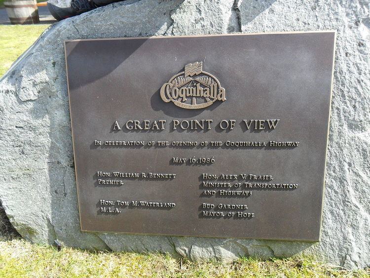
The current Highway 5 is not the first highway in B.C. to have this designation. From 1941 to 1953, the section of present-day Highway 97 and Highway 97A, between Kaleden, just north of Osoyoos, and Salmon Arm, was formerly Highway 5. In 1953, the '5' designation was moved to designate Highway 5A, south of Kamloops, to north of Kamloops. In 1986, Highway 5 was re-routed between Hope and Merritt. The re-routed section of highway between Merritt and Kamloops was completed in 1987. The total cost for the highway between Hope and Merritt was approximately $848 million.
South of Kamloops, Highway 5 is known as the Coquihalla Highway (colloquially "the Coq"; pronounced "coke"), 186 km (116 mi) of freeway, varying between four and six lanes with a posted speed limit of 120 km/h (75 mph). The Coquihalla approximately traces through the Cascade Mountains the route of the former Kettle Valley Railway, which existed between 1912 and 1958. It is so-named because near Hope, it generally follows the Coquihalla River, for about 60 km (37 mi), and uses the Coquihalla Pass.
In 2003, Premier Gordon Campbell announced the Liberal government would turn over toll revenue to a private operator, along with responsibility for operation, and maintenance of "the Coq". In response to strong opposition from the public, and numerous businesses, in the Interior of British Columbia, the provincial government shelved the move three months later.
On September 26, 2008, the provincial government permanently lifted the Coquihalla tolls, effective 1:00 pm that day. Subsequently, the toll station and signs were dismantled.
Effective July 2, 2014, the Ministry of Transport and Infrastructure increased the speed limit of Coquihalla Highway from 110 km/h (68 mph) to 120 km/h (75 mph) after conducting engineering assessment and province-wide speed review.
Although the Yellowhead Highway system is considered part of the Trans-Canada Highway network, the Highway 5 segment is not marked as such. Highway 5 is, however, designated as a core route of Canada's National Highway System.
Route details
Highway 5 begins south at the junction with Highway 3 at uninhabited "Othello", 7 km (4.3 mi) east of Hope (named after a nearby siding on the Kettle Valley Railway, which used many Shakespearean names). Exit numbers on the Coquihalla are a continuation of those on Highway 1 west of Hope. The speed limit on the Coquihalla Highway south of Merritt is 120 km/h (75 mph). 35 km (22 mi) north of Othello, after passing through five interchanges, Highway 5 reaches the landmark Great Bear snow shed. The location of the former toll booth is 13 km (8.1 mi) north of the snow shed, passing through another interchange and the 1,244 m (4,081 ft) Coquihalla Pass. Highway 5 was the only highway in British Columbia to have tolls; a typical passenger vehicle toll was C$10. Now free to drive, at the Coquihalla Lakes junction, the highway crosses from the Fraser Valley Regional District into the Thompson-Nicola Regional District. 61 km (38 mi) and five interchanges north of the former toll plaza, the Coquihalla enters the city of Merritt. There it joins Highway 5A and Highway 97C.
Highway 5 travels 4 km (2.5 mi) through the eastern area of Merritt before reaching its northern junction with Highway 5A. From there, the Coquihalla has three more interchanges and one mountain pass – the Surrey Lake Summit – in the 72 km (45 mi) between Merritt and its end at a junction with Highways 1 and 97. Highway 5 continues east for 12 km (7.5 mi) concurrently with Highways 1 and 97, through Kamloops. This stretch of road, which carries 97 South and 5 North on the same lanes (and vice versa), is the only wrong-way concurrency in British Columbia.
After separating from Highways 1 and 97, Highway 5 proceeds north for approximately 19 km (12 mi), temporarily leaving Kamloops city limits as a four-lane highway, before re-entering the city at the Rayleigh community, then continuing north. It becomes a two-lane highway at Heffley Creek and the exit to Sun Peaks resorts, both of which indicate the final northern boundary of Kamloops.
Highway 5 follows the North Thompson River north from Heffley Creek for approximately 54 km (34 mi), along a parallel course with a branch of the Canadian National Railway, passing through Barriere, to a junction with Highway 24 at Little Fort. 30 km (19 mi) north of Little Fort, while continuing to follow the North Thompson and the CN Railway, Highway 5 then reaches the community of Clearwater. It proceeds northeast for another 107 km (66 mi), passing Vavenby and Avola en route to the community of Blue River; then 109 km (68 mi) further north through the Columbia Mountains, it crosses into the Regional District of Fraser-Fort George, passing by the community of Valemount to its northern terminus at Tête Jaune Cache, where it meets Highway 16.
Exit list
From south to north, the following intersections are observed along Highway 5:
Name
Kw'ikw'iya:la (Coquihalla) in the Halq'emeylem language of the Stó:lō, is a place name meaning "stingy container". It refers specifically to a fishing rock near the mouth of what is now known as the Coquihalla River. This rock is a good platform for spearing salmon. According to Stó:lō oral history, the skw'exweq (water babies, underwater people) who inhabit a pool close by the rock, would swim out and pull the salmon off the spears, allowing only certain fisherman to catch the salmon.
The route is also often referred to simply as "The Coq" (pronounced "coke").